Try SANET
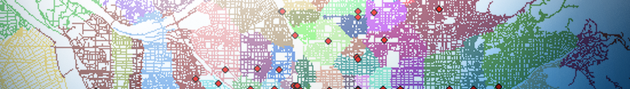
SANET is a toolbox for analyzing events that occur along networks or alongside networks e.g., car crashes on roads and beauty parlors in downtown streets, respectively.
Networks may be roads, rivers, pipe-lines, cables, etc.
If you like to install the newest version of SANET,
Download SANET Version 3
SANET Version 3 for ArcGIS 9.2 offers the following analytical tools.
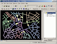
- 1. Preprocessing tools
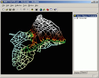
- 1.1 Clean polyline shapes
- 1.2 Continuous graph
- 1.3 Create network index file from a polyline shapefile
- 1.4 Insert points to a network
- 2. Analytical tools
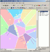
- 2.1 Network Voronoi diagram
- 2.2 Huff model
- 2.3 Nearest neighbor distance method
- 2.4 Conditional nearest neighbor distance method
- 2.5 K Function method
- 2.6 Interpolation
- 2.7 Clumping Method
- 2.8 M Function method
- 3. Other independent tools
- 3.1 Random point
- 3.2 Polygon centroid
- 3.3 Grid
- 3.4 Distribute point data to polylines
- 3.5 Table arrangement
- 3.6 Create network index file from adjacent node table
- 3.7 Edit network index file
If you wish to use the SANET, you need to follow the four steps of procedure.
Step1: Download a registration form and fill in the form.
If you agree with our policy, fill in all the items on the registration form.
Step2: Send the registration form to Atsu Okabe:![]() .
.
Step3: You will receive the SANET 3 installer via Email.
Step4: Download the SANET 3 manual and you can enjoy the SANET.